Industrije
Porazdelitev podjetij po panogah v Sihuas
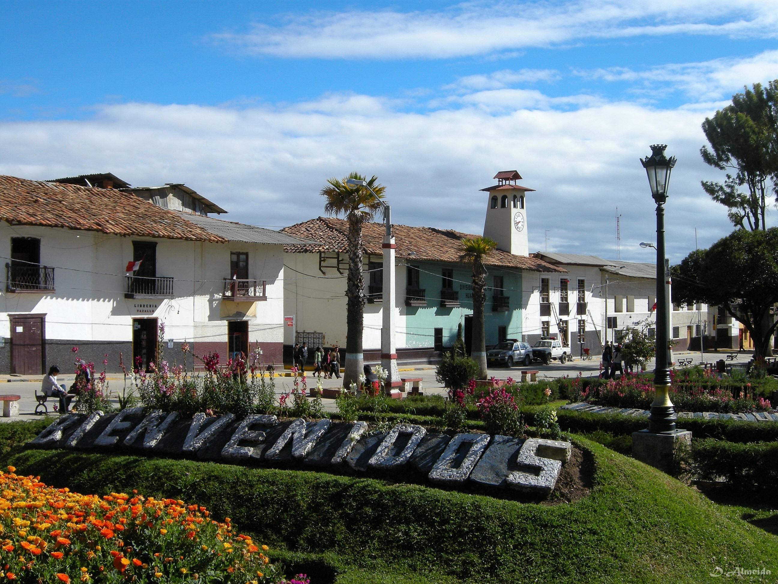
Dejstva o Sihuas
| območje | 37.8 km² |
| Število prebivalcev | 3411 |
| Moška populacija | 1670 (49.0%) |
| Ženska populacija | 1741 (51.0%) |
| Sprememba prebivalstva (1975 to 2020) | -22.7% |
| Sprememba prebivalstva (2000 to 2020) | -41.8% |
| Povprečna starost | 23.3 let (Moški: 22.2, Ženske: 24.4) |
| GDP na prebivalca (PPP) | $9233 (2022) |
| Krajevni čas | |
| Časovni pas | Perujski standardni čas |
| Zemlj. šir. in dol. | -8.56667, -77.61667 |
| Poštne Številke | 02220, 02222, 02225 |
Zemljevid Sihuas
Interaktivni zemljevid
Prebivalstvo Sihuas
Leta 1975 do 2030
| Data | 1975 | 1990 | 2000 | 2015 | 2020 | 2025* | 2030* |
|---|---|---|---|---|---|---|---|
| Število prebivalcev | 4415 | 5582 | 5859 | 5987 | 3411 | 3307 | 3196 |
| Gostota prebivalstva | 117 / km² | 147,9 / km² | 155,2 / km² | 158,6 / km² | 90,4 / km² | 87,6 / km² | 84,7 / km² |
Sprememba prebivalstva Sihuas od 2000 do 2020
Zmanjšanje za 41.8% od leta 2000 do 2020
| Kraj | Sprememba od 1975 | Sprememba od 1990 | Sprememba od 2000 |
|---|---|---|---|
| Sihuas | -22.7% | -38.9% | -41.8% |
| Ancash | — | — | — |
| Peru | — | — | — |
Mediana starosti Sihuas
Mediana starosti: 23.3 let
| Kraj | Povprečna starost | Srednja starost (ženska) | Srednja starost (moški) |
|---|---|---|---|
| Sihuas | 23.3 yrs | 24.4 yrs | 22.2 yrs |
| Ancash | 25.1 yrs | 25.7 yrs | 24.6 yrs |
| Peru | 25.1 yrs | 25.6 yrs | 24.6 yrs |
Gostota prebivalstva Sihuas
Gostota prebivalstva: 90,4 / km²
| Kraj | Število prebivalcev | območje | Gostota |
|---|---|---|---|
| Sihuas | 3411 | 37,8 km² | 90,4 / km² |
| Ancash | 1,1 million | 35.888,1 km² | 30,8 / km² |
| Peru | 31 million | 1.291.975 km² | 24 / km² |
Zgodovinsko in napovedano prebivalstvo Sihuas
Ocenjeno prebivalstvo od 0 do 2100
- JRC (European Commission's Joint Research Centre) delajo na GHS built-up grid
- CIESIN (Center for International Earth Science Information Network)
- [Povezava] Klein Goldewijk, K., Beusen, A., Doelman, J., and Stehfest, E.: Anthropogenic land use estimates for the Holocene – HYDE 3.2, Earth Syst. Sci. Data, 9, 927–953, https://doi.org/10.5194/essd-9-927-2017, 2017.
Telefonske Številke
Odstotek območnih oznak, ki jih uporabljajo podjetja v Sihuas
Indeks človekovega razvoja (HDI)
Statistični sestavljeni indeks življenjske dobe, izobrazbe in dohodka na prebivalca.
Bruto domači proizvod (GDP) mesta Sihuas
GDP na prebivalca, PPP (stalni mednarodni dolarji iz leta 2017)
| Data | 1990 | 1995 | 2000 | 2005 | 2010 | 2015 | 2020 | 2022 |
|---|---|---|---|---|---|---|---|---|
| GDP na prebivalca | $2397 | $2529 | $4474 | $6937 | $5686 | $7290 | $8125 | $9233 |
| Skupni GDP | $18 mio. | $19,7 mio. | $35,7 mio. | $52,8 mio. | $39,6 mio. | $47,6 mio. | $53,6 mio. | $60,1 mio. |
Emisije CO2 Sihuas
Emisije ogljikovega dioksida (CO2) na prebivalca v tonah na leto
| Kraj | Emisije CO2 | Emisije CO2 na prebivalca | Intenzivnost izpustov CO2 |
|---|---|---|---|
| Sihuas | 8,216 tn | 2.41 tn | 217.6 tons/km² |
| Ancash | 2,654,629 tn | 2.4 tn | 74 tons/km² |
| Peru | 71,626,946 tn | 2.31 tn | 55.4 tons/km² |
| Emisije CO2 leta 2013 (ton/leto) | 8,216 tn |
| Emisije CO2 leta 2013 (ton/leto) na prebivalca | 2.41 tn |
| Intenzivnost emisij CO2 leta 2013 (ton/km²/leto) | 217.6 tons/km² |
Naravne nevarnosti
Relativno tveganje od 10
| Nevarnost | Stopnja tveganja |
|---|---|
| Suša | Nizka (2) |
| Poplava | Srednja (7) |
| Potres | Srednja (7) |
| Plaz | Srednja (7) |
* Tveganja, zlasti v zvezi s poplavami ali plazovom, morda ni za celotno območje.
- Dilley, M., R.S. Chen, U. Deichmann, A.L. Lerner-Lam, M. Arnold, J. Agwe, P. Buys, O. Kjekstad, B. Lyon, and G. Yetman. 2005. Natural Disaster Hotspots: A Global Risk Analysis. Washington, D.C.: World Bank. https://doi.org/10.1596/0-8213-5930-4.
- Center for Hazards and Risk Research - CHRR - Columbia University, Center for International Earth Science Information Network - CIESIN - Columbia University, and Norwegian Geotechnical Institute - NGI. 2005. Global Landslide Hazard Distribution. Palisades, NY: NASA Socioeconomic Data and Applications Center (SEDAC). https://doi.org/10.7927/H4P848VZ.
- Center for Hazards and Risk Research - CHRR - Columbia University, Center for International Earth Science Information Network - CIESIN - Columbia University, and International Research Institute for Climate and Society - IRI - Columbia University. 2005. Global Drought Hazard Frequency and Distribution. Palisades, NY: NASA Socioeconomic Data and Applications Center (SEDAC). https://doi.org/10.7927/H4VX0DFT.
- Center for Hazards and Risk Research - CHRR - Columbia University, Center for International Earth Science Information Network - CIESIN - Columbia University. 2005. Global Flood Hazard Frequency and Distribution. Palisades, NY: NASA Socioeconomic Data and Applications Center (SEDAC). https://doi.org/10.7927/H4668B3D.
- Center for Hazards and Risk Research - CHRR - Columbia University, Center for International Earth Science Information Network - CIESIN - Columbia University. 2005. Global Earthquake Hazard Distribution - Peak Ground Acceleration. Palisades, NY: NASA Socioeconomic Data and Applications Center (SEDAC). https://doi.org/10.7927/H4BZ63ZS.
Nedavni potresi v bližini
Magnitude 3.0 in več
| Datum▼ | Čas↕ | Magnitude↕ | Distance↕ | Globina↕ | Kraj↕ | Povezava |
|---|---|---|---|---|---|---|
| 5/7/15 | 2:46 PM | 4.7 | 61.9 km | 48,060 m | 47km ESE of Huamachuco, Peru | usgs.gov |
| 1/3/10 | 8:39 PM | 5.7 | 28.3 km | 116,800 m | central Peru | usgs.gov |
| 3/1/08 | 1:12 AM | 4.6 | 87.1 km | 55,300 m | northern Peru | usgs.gov |
| 11/27/05 | 8:46 AM | 4.8 | 96.7 km | 51,600 m | northern Peru | usgs.gov |
| 11/28/02 | 4:14 AM | 4.2 | 95.9 km | 33,000 m | central Peru | usgs.gov |
| 3/15/96 | 12:45 PM | 5 | 47 km | 28,700 m | central Peru | usgs.gov |
| 2/20/96 | 12:22 AM | 4.3 | 93.2 km | 33,000 m | northern Peru | usgs.gov |
| 11/9/94 | 5:02 AM | 4.5 | 84.1 km | 33,000 m | northern Peru | usgs.gov |
| 3/4/91 | 5:54 AM | 4.5 | 71.7 km | 10,000 m | northern Peru | usgs.gov |
| 10/2/87 | 10:27 PM | 5.6 | 59.8 km | 19,800 m | central Peru | usgs.gov |


O naših podatkih
Podatki na tej strani so ocenjeni z uporabo številnih javno dostopnih orodij in virov. Zagotovljeni so brez jamstva in lahko vsebujejo netočnosti. Uporabljajte na lastno odgovornost.